Alpine Ridge Trail – Rocky Mountain National Park Colorado
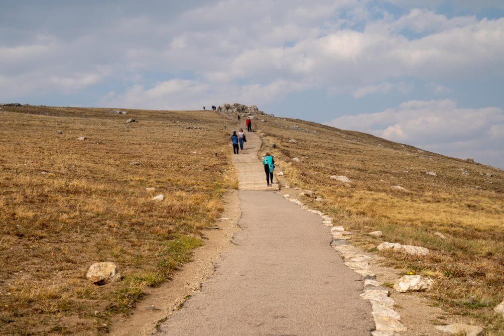
The Alpine Ridge Trail is a short, easy trail that starts from the Alpine Visitors Center in Rocky Mountain National Park along Trail Ridge Road. If you only have time for a short hike in the park, the Alpine Ridge Trail might be one to consider. The trail is made up of mostly boardwalks and stairs and reaches 12,002 feet elevation at the top. Let’s take a closer look at the Alpine Ridge Trail in Rocky Mountain National Park in Colorado.
Alpine Ridge Trail – Overview
Type: Out and back
Distance: .70 round trip
Elevation gain: 209 feet
Time needed: About 15-20 minutes
Amenities: Restrooms available at the gift shop, visitor center and there are vault toilets near the trailhead.
Alpine Ridge Trail – Location
The Alpine Ridge trail starts at the Alpine Visitor Center area. The visitor center is located right off of Trail Ridge Road. It’s also at the end of Old Fall River Road, which is an alternative, one-way unpaved road you can take up here instead of Trail Ridge Road.
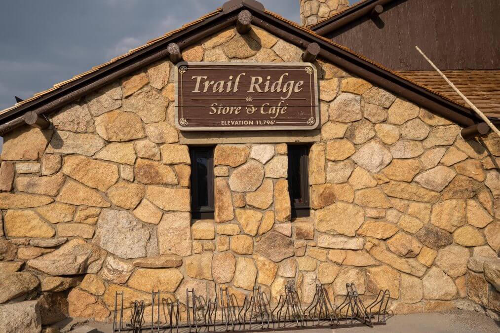
There are two buildings here – the visitor center and the gift shop. Head toward the gift shop building and the trail will be on your left – you can’t miss it. You’ll see plenty of people on this trail, since it is located in this busy visitor center area. This is an extremely popular hike, but it’s also very short.
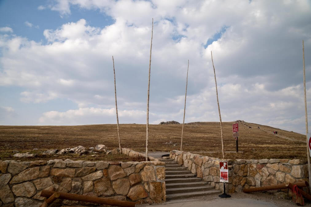
Hiking Alpine Ridge Trail
The trail to the top is all the way up with some stairs. There’s a good chance it will be quite windy on this trail, as this area is above the tree line – you’re completely exposed and there is nothing to block the wind. You’ll at over 12,000 feet elevation so you’re going to feel it as you make your way up the hill (this trail was once called “Huffer’s Hill” – makes total sense since you’ll be huffing and puffing your way up to the top).
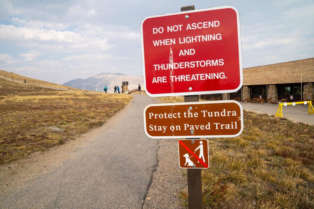
Do not do this trail if there are thunderstorms in the area. This is high alpine tundra above the tree line and you are completely exposed to lightening strikes! Thunderstorms are very common in the afternoon here, so use caution when hiking during that time.
It’s quite chilly up at this high of elevation, so you’ll want to at least wear a jacket. I did this hike on a 75 degree day (down in Estes Park) and needed a jacket and long pants up here as temps were in the 40s.
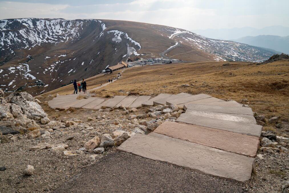
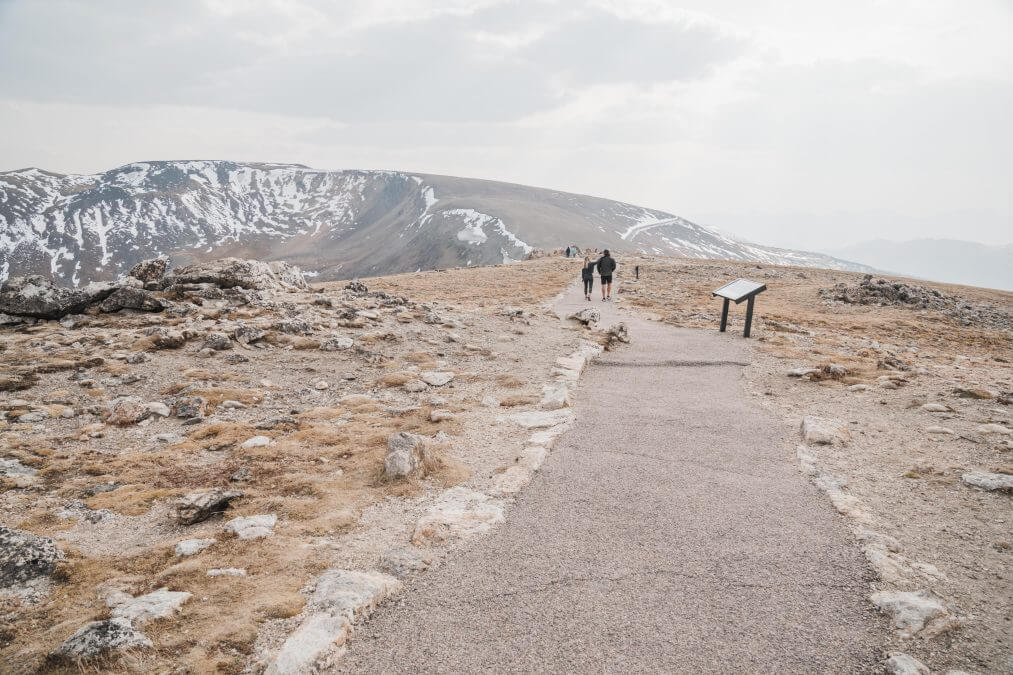
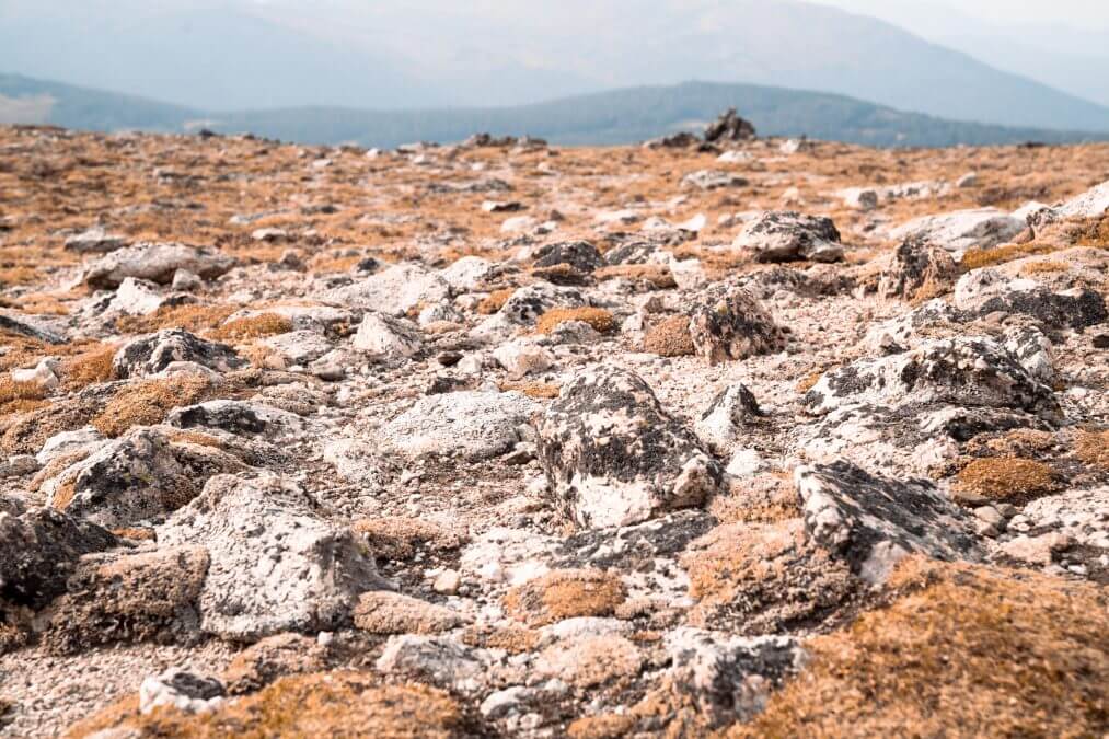
As you make your way to the top, you’ll notice the tundra here – rocks covered in lichens, small wildflowers – and the noticeable lack of any trees!
At the top, you’ll see the sign for the summit – elevation 12,005 feet above sea level. Wow! From here, you can see the beautiful mountain valley vistas below.
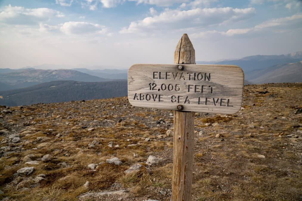
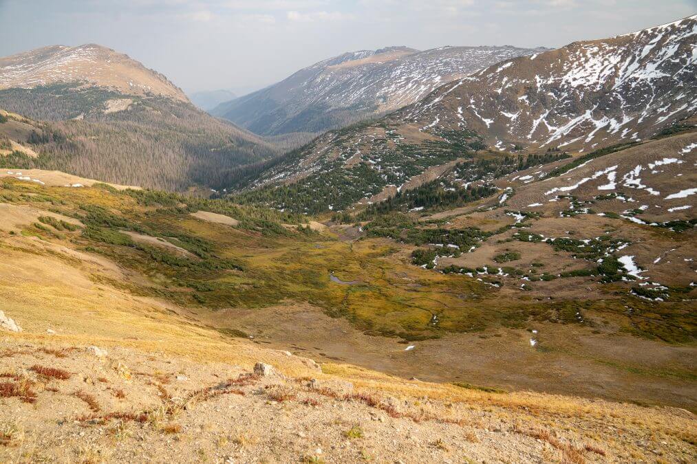
When I did this hike, there was a lot of smoke from nearby wildfires, so the dark, hazy skies really affected my view. It was still pretty up here, but with the low visibility, it wasn’t as nice as it would be with bright blue, clear skies. I did this like in mid-September, almost at the end of the season for this area. If you do this earlier in the season, the area will be green and lush, not so crusty-looking like my photos.
Have you ever hiked Alpine Ridge Trail in Rocky Mountain National Park? Or is it on your list for this summer? Let me know in the comments!