
Visiting Mexican Hat Rock Formation – Utah
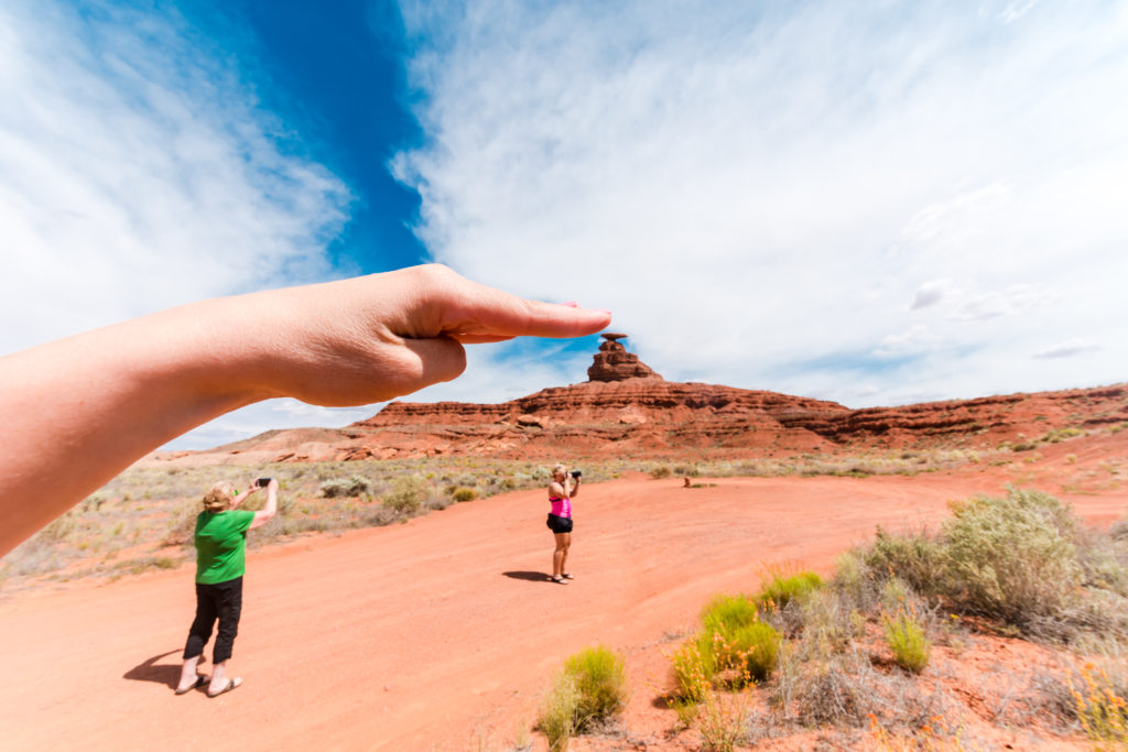
Utah has no shortage of interesting and unique rock formations – and the Mexican Hat rock formation is one of the most fun one to see. Shaped like a sombrero perched on top of large boulders, this oddball geological formation is located in Southeastern Utah. In this blog post guide, I’ll tell you how to visit the Mexican Hat rock formation while on your Southwestern USA road trip, located near the town of, well, Mexican Hat, Utah.
Mexican Hat Location
The Mexican Hat rock formation is located off of US Highway 163 in Southeast Utah, just outside of the small town of Mexican Hat, Utah. From Moab, Utah, this is about 100 miles south. It’s very close to the famous Monument Valley, so if you are headed there, you might as well stop off at the Mexican Hat rock formation and snap a few photos.
Visiting Mexican Hat Rock in Utah
Other nearby attractions:
Goosenecks State Park – 10 minutes
Monument Valley – 25 minutes
Wilson Arch – 1 hour, 30 minutes
Arches National Park – 2 hours, 15 minutes
Mexican Hat – Details
Time Commitment: If you just want to photograph this, this will be about a 10 minute stop. While you can hike and scramble to the base of the formation, we just admired it from afar. If you decide to hike to the Mexican Hat, you’ll need extra time.
Cost: Free
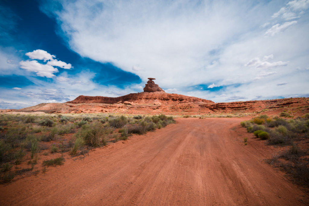
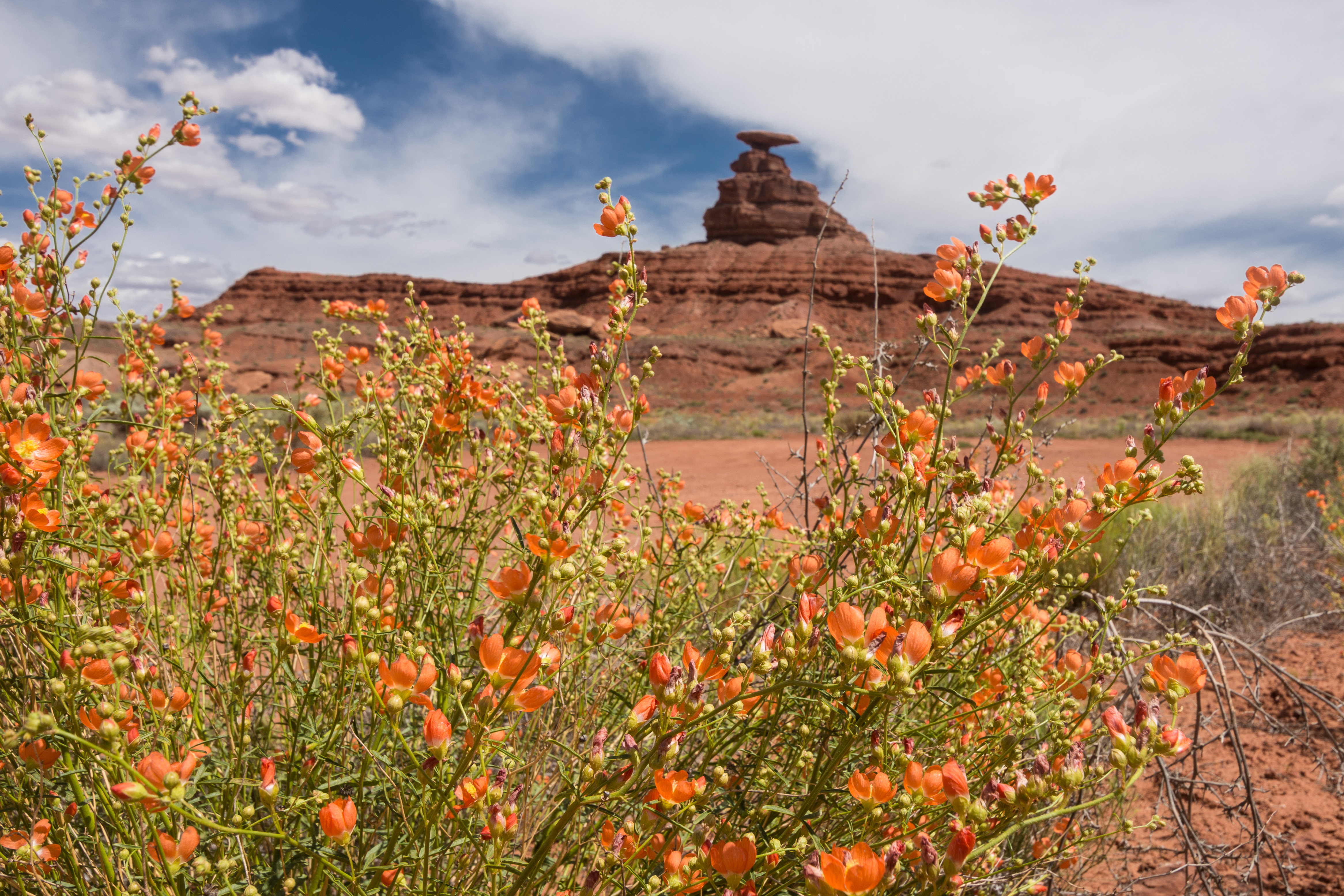
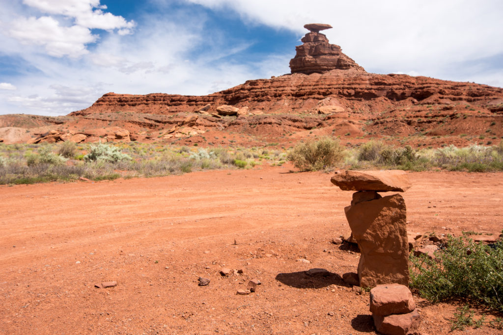
Mexican Hat rock can be viewed from a small roadside pullout off of Highway 163, or you can venture down a well-maintained dirt road to get a better look. We ventured down the dirt road – I felt like this was worth it, as it allowed me to photograph Mexican Hat rock from a few (though still limited) perspectives. All photos on this post were taken from the dirt road.
All in all, this was a great spot to stop, get out of the car and stretch your legs!

Like this post? Pin it to save for later!



I love quick and fun stops like this to break up a road trip! I’d have to hike all the way up to it though 🙂