Corona Arch Hike – Moab, Utah
What if I told you that one of the most impressive sandstone arches in the Moab area isn’t in Arches National Park?
Say WHAT?
Yeah that’s right! I’m talking about Corona Arch. Not only is it incredibly tall (105ft!) and beautiful, it resides on public land (so accessing it is free!) and you don’t need to fuss around with permits or timed reservations!
Here’s everything you need to know about hiking Corona Arch in Moab, Utah! And not only will you see Corona Arch, you have the chance to see two other arches along the way as well – Pinto Arch and Bowtie arch. What a deal!
Corona Arch Trail Overview
- Length: 3 miles round trip
- Type: Out and back
- Elevation gain: 482 feet
- Dogs allowed: Yes (but be aware you may need to carry your buddy when you get to the cables and ladder, so you may want to leave your larger dogs behind – of the dogs I saw on the hike, the small dogs handled this area much better than the larger dogs – the big dogs really struggled.) Personally, I would not bring a dog on this hike.
- Permits: No
- Fees: No
- Difficulty: Easy-Medium. Even with the cables and ladder, this is a family-friendly hike that’s quick and relatively easy.
Trailhead information
Finding the Corona Arch trailhead is simple – it’s easiest to just plug in “Corona Arch Trailhead” into Google Maps and you’ll find it.
If you’re staying in Moab, you’ll have about about a 20 minute drive from your downtown hotel.
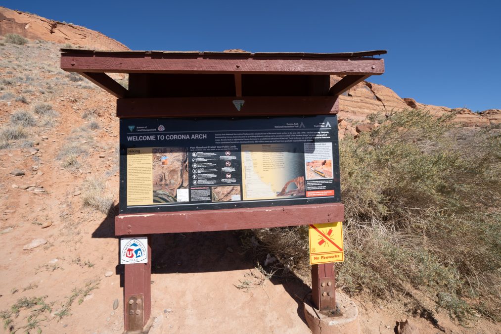
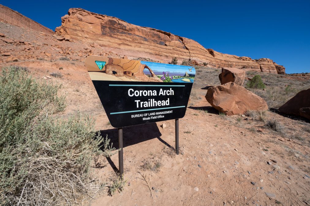
At the trailhead, you will find pit toilets, plenty of parking, and a trail map.
The trail is entirely exposed – there is absolutely no shade and no water available while on the trail. Sunscreen and water are a must. I hiked this trail in mid-May, in the late afternoon. Temps were in the 80s, so it was warm but not yet at peak summer heat, but that desert sun was brutal! If you’re hiking in the summer, I suggest doing this hike in the early morning or evening hours – temps in Moab can easily top 100 degrees during the summer months.
Corona Arch is a highly trafficked trail, but I didn’t see a ton of people during my hike in mid May. I hiked it on a weekday afternoon (around 5pm) and saw maybe 20 people.
Best time to Photograph Corona Arch
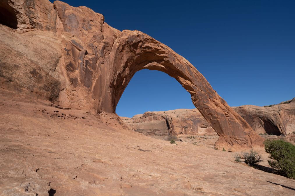
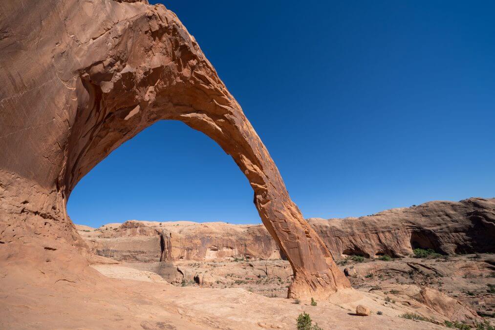
On a sunny day, you’ll want to hike Corona Arch in the late afternoon, as you won’t have to photograph the arch into the sun. The photos on this post were taken around 5pm in May and you’ll notice how Corona Arch has no shadows and stands out beautifully against the bright blue sky. I would imagine sunset would be amazing here as well.
If morning is the only time you can go, don’t fret! Just walk underneath the arch and shoot in the other direction – you’ll get amazing photos, but you could have other people in them, as hikers tend to hang out on the side of the arch where the trail ends.
Corona Arch Hike Information
The majority of the elevation gain is found at the beginning of the hike – this will get your heart pumpin’! Right away at the trailhead, you’ll start with some switchbacks and you’ll continue gaining elevation until you cross the railroad track, which you’ll reach in about 5-10 minutes.
These are active railroad tracks so you might see a train go by. Do not hike along the tracks – this is not the trail!
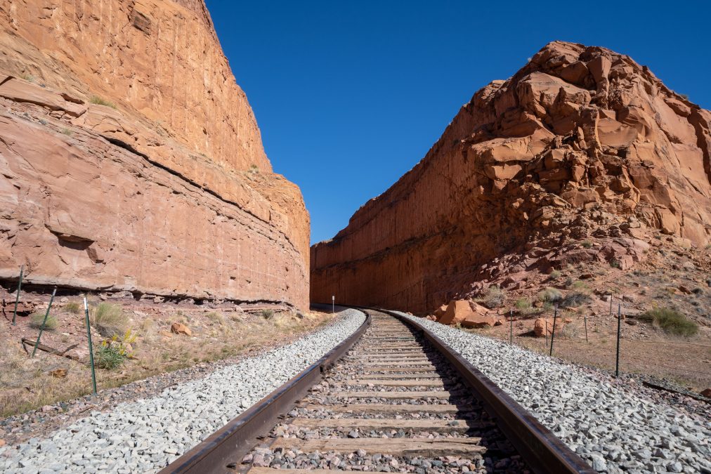
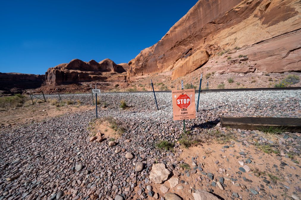
After the railroad tracks, the trail pretty much levels out.
Traversing the slickrock makes up the rest of the hike and it’s mostly flat. There are a few parts where I wasn’t sure where the trail was, but all you need to remember is to look down on the slickrock for the turquoise paint markers – they’ll keep you on the right path to the arch. You’ll find a few rock cairns too.
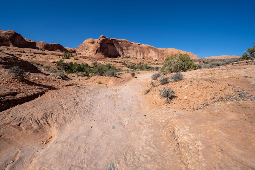
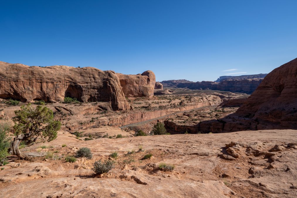
Once you reach the metal cables, you should be able to see the arch.
There are two sets of cables – the first set is pretty easy to traverse, as you’re just going across the slickrock, albeit the hiking trail is narrower here — you may not even need to use the cables. The second set has you going up and over slickrock, and includes footholds to help guide you up. I definitely felt the second set of cables was needed. I was a little sketched out by this, as it is steep. (I stowed my camera and phone in my backpack at this point, which is why there are no photos). I also think it’s pretty sketchy for dogs – again, it’s steep so make sure you know your dog’s limits (is he sure-footed?) – I saw people carrying their dogs through this section. Some people choose to stop their hike here, as you can see Corona Arch from this vantage point, but it’s well worth the time to walk up to the arch to get a feel of just how large it is.
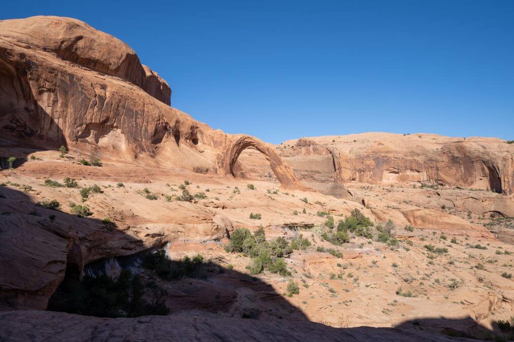
After you finish this cables section, you’re greeted by a small ladder of 4 rungs. I had no issues climbing the ladder, but if you’re hiking with a dog, you can go up and around the ladder on the left – just make sure you have grippy shoes as it’s steep and slick.
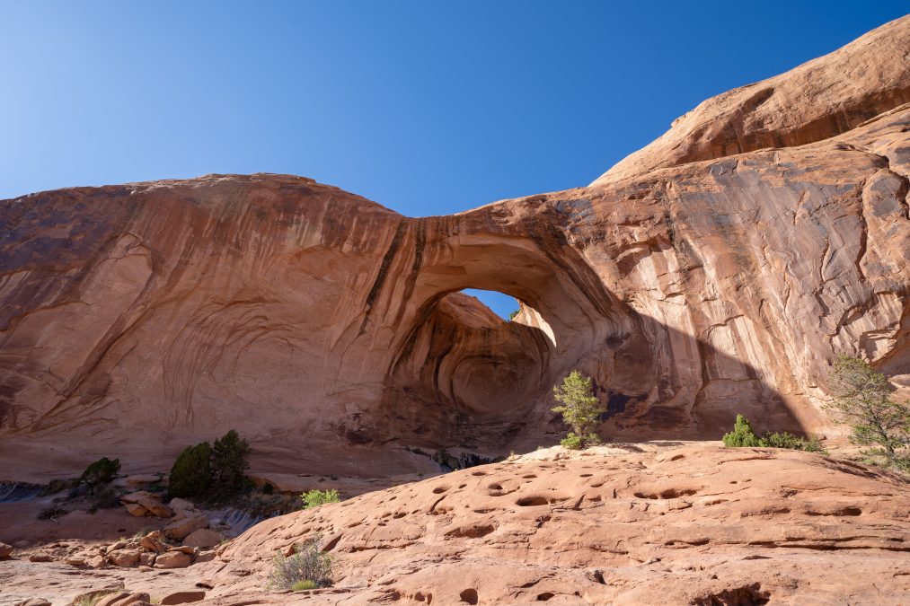
After the ladder, keep following the path around the ‘bowl’ to Corona Arch, but look out to your left – you’ll see Bowtie Arch come into view. You can take a quick detour to get closer to this arch if you’d like.
Once you reach Corona Arch, relax, take a ton of photos and enjoy! For me, it’s my second favorite arch of all time – right behind Delicate Arch (read about my Delicate Arch hike here). Corona Arch isn’t a free-standing arch like Delicate Arch, but its sheer size is amazing – photos don’t do it justice; you definitely want to experience it in person.
Pinto Arch:
Pinto Arch can be reached via the same trail as Corona Arch, as an off-shoot hike. It’ll add about 30 minutes to your hike. The turnout is located about a 1/2 mile from the Corona Arch trailhead – you will see a sign and the trail is marked.
I did not do the hike to Pinto Arch, as I did not know about it until after my hike. Frankly, even if I did know about Pinto Arch, I probably would’ve skipped it, as it doesn’t look very impressive compared to Corona Arch – and it looks very similar to Bowtie Arch (they’re both pothole arches), which you pass by en route to Corona. But if you’re looking for solitude, you have better chance of being alone at Pinto Arch than Corona Arch!
Corona Arch hike – Final Thoughts
Pros:
- Quick hike, can be easily added to a Moab itinerary.
- The railroad tracks, cables and ladder make for an interesting hike.
- Absolutely spectacular arch to see in person!
- FREE / NO PERMITS REQUIRED!
- Large parking lot with restrooms.
- Chance to see two other arches along the way
Cons:
- No shade on the trail – summer daytime temps can climb over 100 degrees!
- The metal cables might be too sketchy if you’re extremely scared of heights.
- It’s supposedly “dog friendly”, but it’s not for all dogs. Know your dog’s limits before taking your buddy along!
Have you hiked to Corona Arch in Moab, Utah? What did you think? Or do you have a question? Drop me a note below: