
Saint Mary’s Glacier Hike: Idaho Springs, Colorado
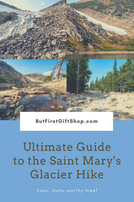
The Saint Mary’s Glacier hike is a fun, 1.5 mile round trip hike, located just outside of Idaho Springs, Colorado. This is a very “instagrammable” photography spot in Colorado – so naturally, the Saint Mary’s Glacier hike is very popular. This guide is all you’ve ever wanted to know about the Saint Mary’s Glacier hike, just outside of Idaho Springs, Colorado.
Details
Trailhead location: The trailhead is located about 9.5 miles north of Idaho Springs, Colorado. Here’s the Google Maps directions to the trailhead from Idaho Springs.
Distance: 1.5 miles round trip. If you’re just going to the lake, it’s 1 mile round trip.
Time Commitment: 2 hours
Elevation gain: 1500 feet, if you go all the way to the glacier.
Trail type: Out and back
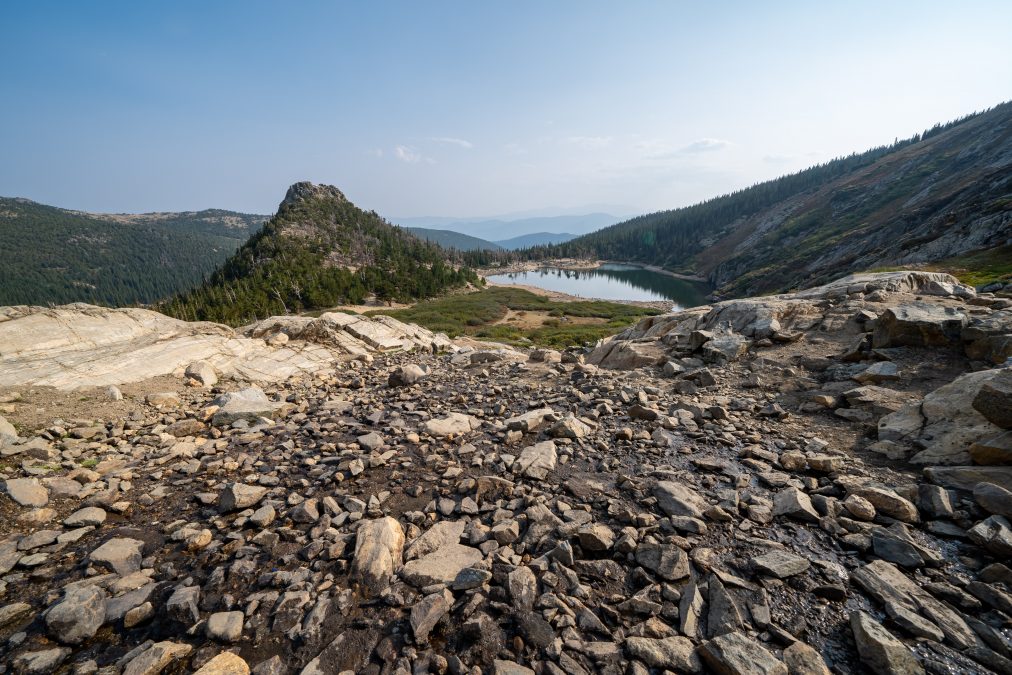
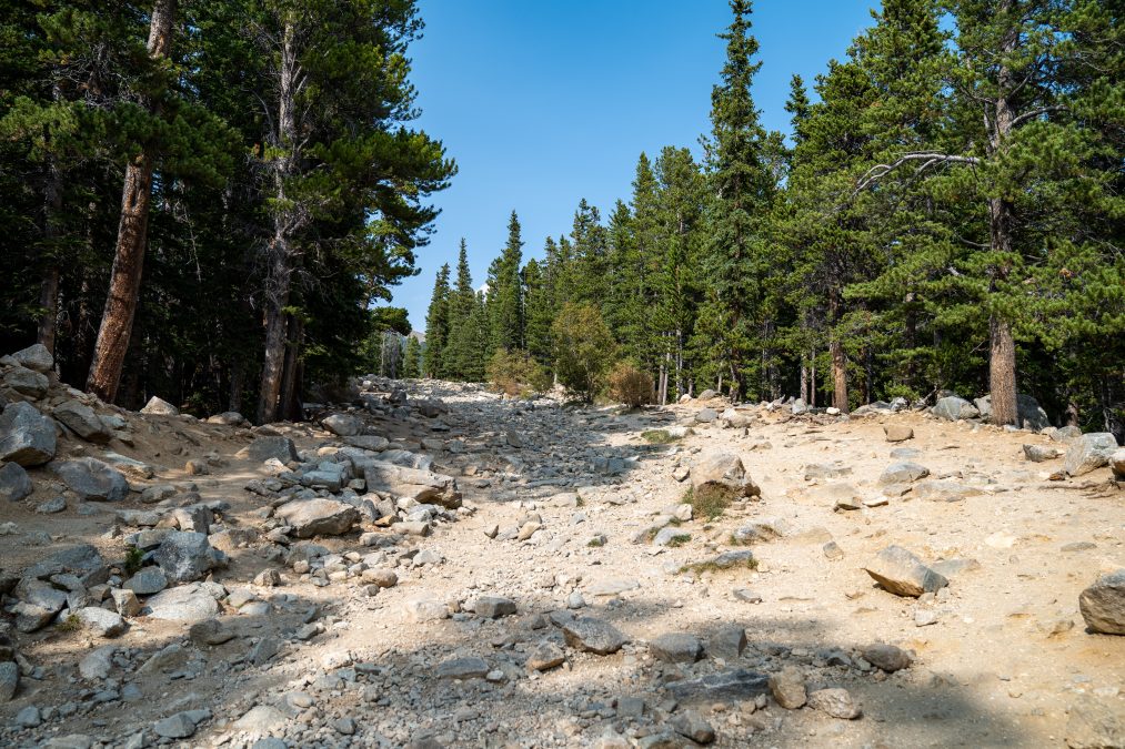
Terrain: Rocky! The trail itself is dirt, but you will have to step over large, jutting rocks nearly the entire way. You’re not rock scrambling; just very rocky.
Leashed dogs are allowed
Cost: $5 cash permit fee at the parking lot. National Park pass is not accepted.
Wear appropriate footwear – hiking boots or trail runners are essential. Do not hike in flip flops!
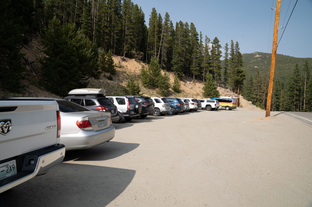
Parking: Two parking lots – and they fill quickly on the weekends. Do not park on the side of the road or you will get fined. Restrooms are available in the parking lot.
Hiking to Saint Mary’s Glacier
Hiking to Saint Mary’s Glacier will give you a lot of ‘bang’ for your ‘buck’. In other words, you won’t have to hike far to get to some classic Colorado mountain scenery.
I hiked to Saint Mary’s Glacier in mid-September. You may notice that there’s a bit of haze in my photos – smoke from nearby wildfires was in the air. Luckily, on this particular day, the smoke and haze wasn’t bad, but just a few days prior to my hike, I wouldn’t have been able to do this due to the poor air quality.
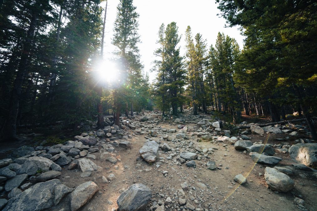
I was staying at the Bearadise Motel in nearby Idaho Springs (see my review here – it’s such a cute motel!), which is the closest town to Saint Mary. It was about a 25-30 minute drive to the trailhead. If you’re coming from Denver, expect a drive time of roughly 2 hours.
I didn’t have any issue finding parking. I hiked Saint Mary’s Glacier mid week and arrived at the trailhead at 3pm. There are two small parking lots here, both requiring a $5 fee per car. The National Park pass is not accepted here; everyone must pay. Parking can be an issue, especially on the weekends, so if you’re planning on hiking Saint Mary’s Glacier, you’ll want to get here early. This is a very popular hike.
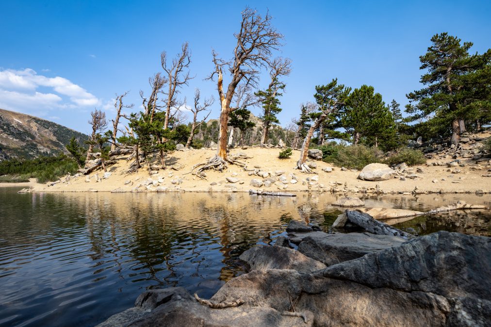
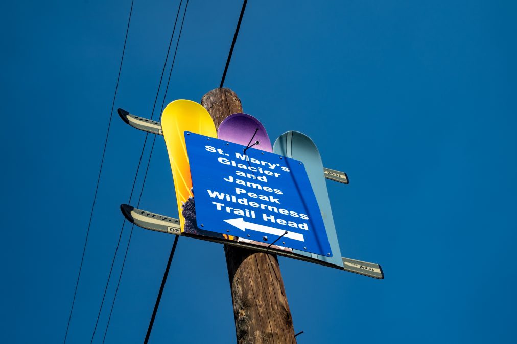
The trail is only marked at the trailhead. The rest of the hike, you’re on your own to find your way. This almost deterred me from doing this hike, as I was hiking solo and I’ve been in situations where the trail is hard to follow, and, frankly, it scares the shit out of me. But because I knew that the Saint Mary’s Glacier is extremely popular, I knew I wouldn’t be alone and the trail itself isn’t that long.
The best advice I can give you is to:
A.) Follow the others
B.) Keep going up.
C.) If in doubt, follow the stream (if it’s there. It was nearly dried up when I hiked in mid-September).
D.) This is popular with locals so don’t be afraid to ask other hikers if you’re going the right way.
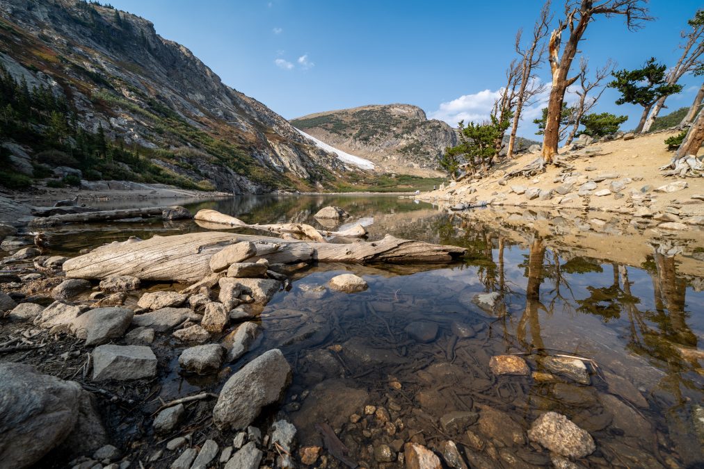
I was a little apprehensive when I started out, but once I got on the trail, I found it pretty easy to follow. On the way back, I got a little confused at one spot, so I just waited around for another group of people to approach closer, and then just followed them.
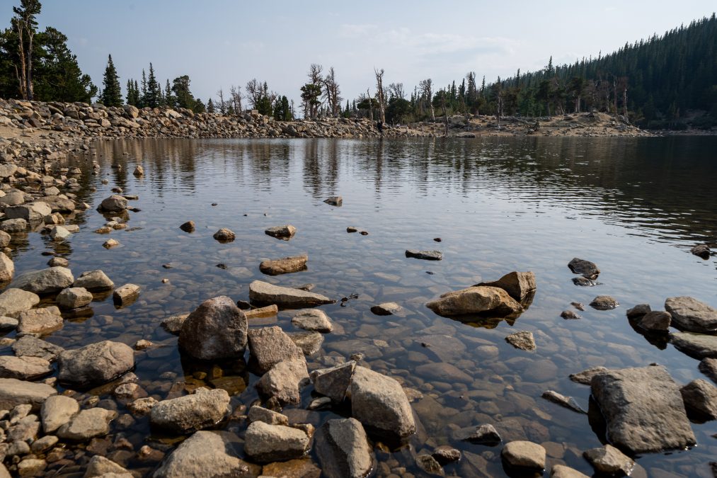
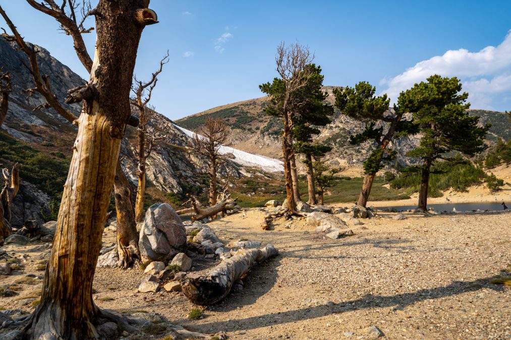
The first spot you’ll see is the beautiful lake! The scenery is amazing – and I love the bristlecone pines! Don’t forget to bring your camera. I explored several spots around the shoreline to get some different compositions.

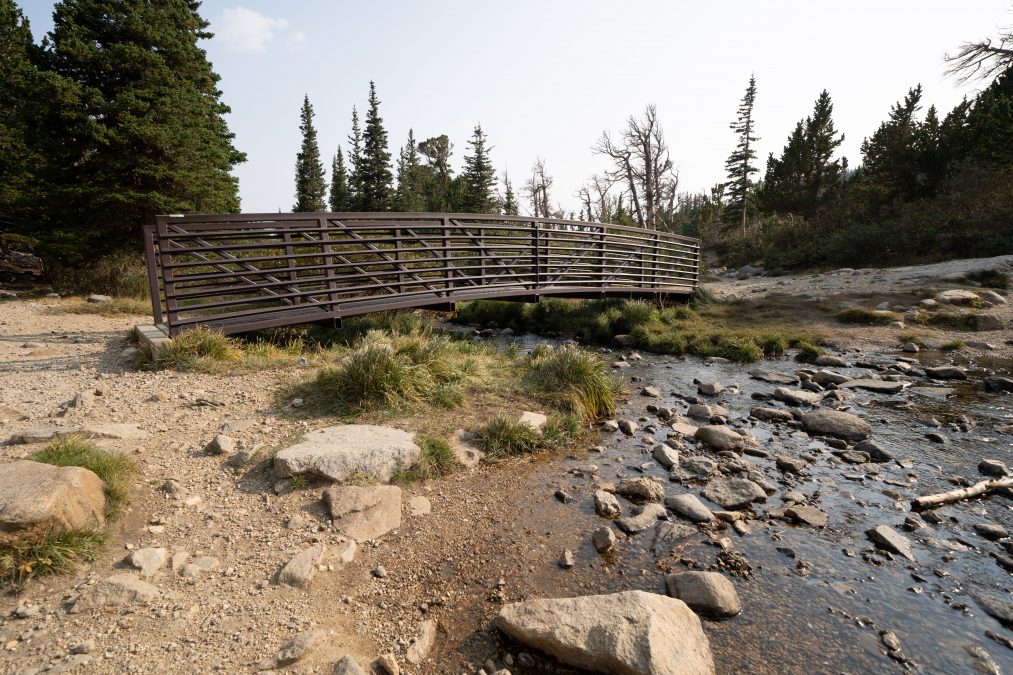
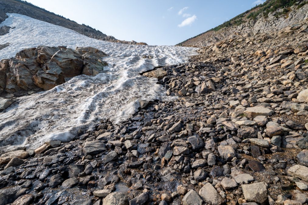
Then I made my way to the glacier. From the lake, it’s another .25 miles to the foot of the glacier. The trail is well-marked. You’ll cross a small footbridge. Once you get closer to the glacier, you’ll have make your own trail. It’s rocky – some of which are loose, so you’ll need to watch every step. If I was hiking with my dog, I wouldn’t have brought him to the glacier; we would’ve stayed by the lake, as I think it’s a bit too sketchy for dogs…but I baby him, so there’s that 🙂
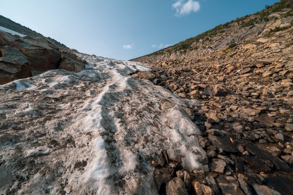
I just hiked to the foot of the glacier. I didn’t feel the need to go climbing all over it, though you can if you want to. All in all, this is a great hike for, well, anyone — especially beginners – it’s a short hike, you get a bit of elevation gain, varying terrain (large rocks, small rocks, regular dirt path trail, and snow!), some trail-finding needed and a wonderful reward at the end.
Saint Mary’s Glacier Hike – Final Thoughts
Pros:
Easy, fun hike
Stunning scenery
Cons:
Very popular hike. Crowded. Parking can be an issue
Trail is very rocky and can be hard to follow at times
Like this post? Pin it to save for later!


Wow! This is so cool. It’s not often you can reach the foot of a glacier so easily (we have spent hours scrambling up to them in the past!) I can totally see why this trail is popular! Are there other hikes you can do nearby? 1.5km almost sounds too short…I’d be warmed up ready for a longer walk. 🙂
p.s. Next time, if you are heading to an area with no signs, try downloading an app like maps.me or alltrails before you go. Even if there is no cell reception, the gps still works, so you’ll be able to see where you are. It makes it less scary as you know you’re on the right track.
This looks like a great hike and the views are stunning!